GDT > Reimagine RTD (GDT’s Version) > Downtown Bus Plan
RTD bus journeys can be made faster with safer and easier transfer experiences in Downtown via a series of inexpensive and common-sense routing adjustments to form transit “trunks”.
A plan for Denver’s Downtown bus network…
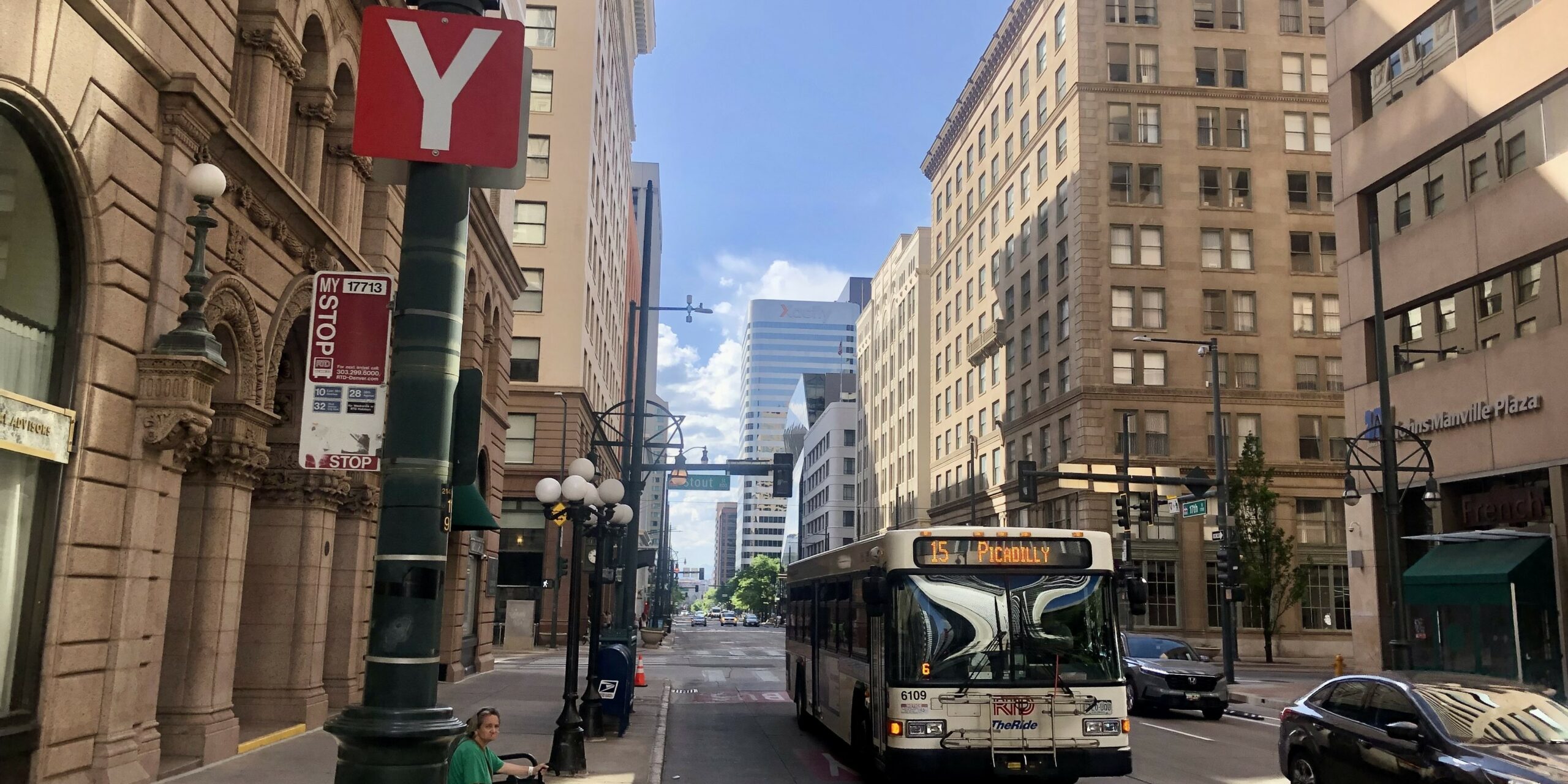
Suffering from years of piecemeal alterations, Denver’s Downtown bus network today comprises of a bunch of routes that converge on Downtown in a seemingly random fashion. Instead of a coherent, easy to understand and use Downtown network, the current situation offers a poor experience to riders, particularly those attempting to transfer between buses. This results in many riders giving up on Downtown’s regular buses and opting to use the Free MallRide instead.
The Downtown Bus “Trunks”
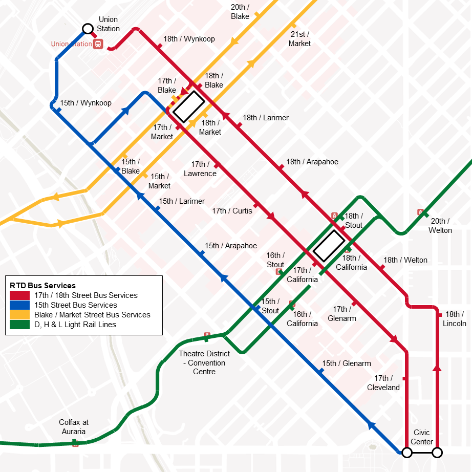
The centerpiece of the Downtown Bus Plan is the creation of “trunk” lines that are made up of multiple transit routes which merge together to create ultra-high frequency service over a common stretch of city street. The plan has four main parts to it:
- 15 existing RTD bus routes should have their Downtown “last miles” aligned between Denver Union Station (DUS) and Civic Center Station.
- The high frequency “trunks” can be further enhanced by DOTI investment in block-long “super stops” to make transfers safer, easier, quicker and prevent buses from bunching.
- The creation of two ‘transit square’ locations to act as additional high capacity transfer points between routes that bi-sect each other.
- The former RTD Free MetroRide bus fleet can then be optimally repurposed to fill Downtown’s largest transit gap; a Blake / Market hi-frequency route running between Decatur – Federal Station to 38th & Blake Station.
Shift to 18th Street
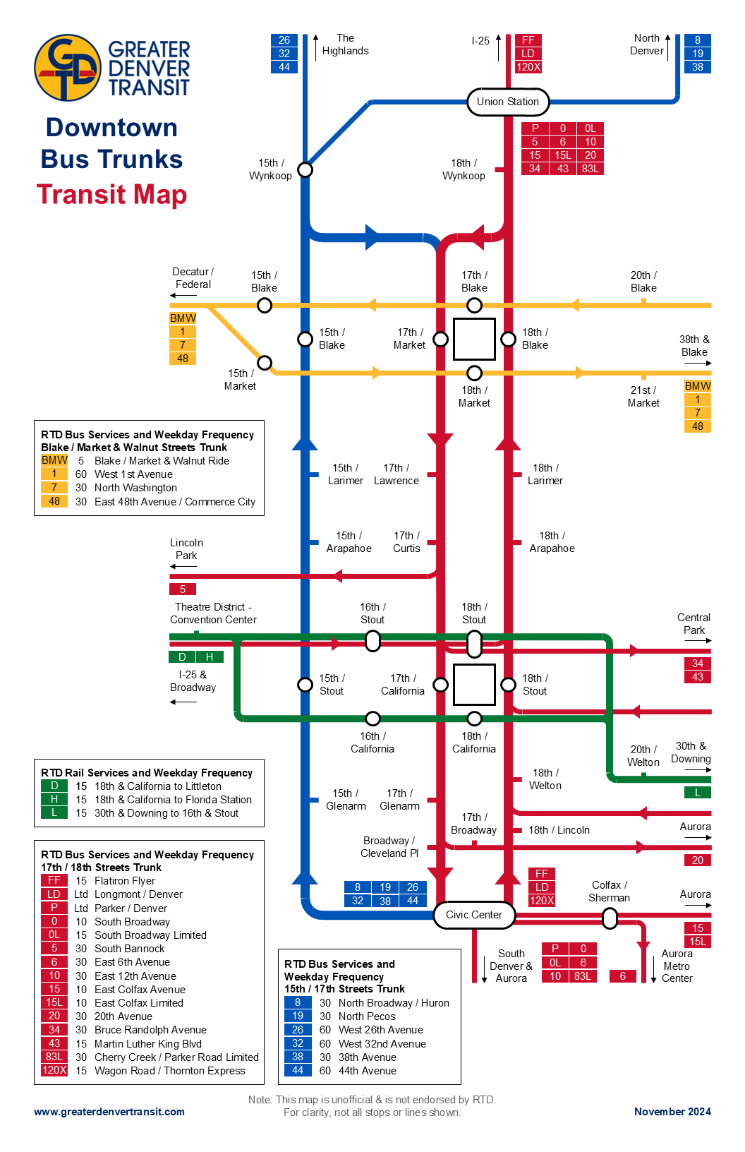
Currently most buses use 15th and 17th Streets to traverse downtown, with those heading northeast to the Union Station bus concourse having to cut across to access 18th Street. The plan recommends shifting all bus traffic heading towards the Union Station bus concourse on to 18th Street to provide more direct, quicker and easier to understand journeys. 15th Street would be left with at least 6 routes that either run directly into the Highlands or over the top of the Union Station bus concourse on Wewatta Street. If these 6 routes provided at least a 30 minute frequency, this would leave 15th Street with a bus every 5 minutes.
17th Street would continue to handle all southeast bound buses heading towards Civic Center Station.
Transit Squares
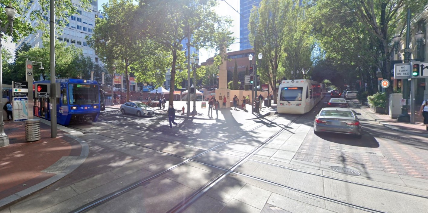
Borrowing an idea from Portland, OR, the Downtown Bus Plan calls for the creation of two ‘transit square’ locations to act as additional high capacity transfer points between routes that bi-sect each other. The transit squares would comprise of four bus or light rail stops (one on each side of the square) grouped together and marketed as a single location with unified wayfinding to make transfers simple to understand and easy to accomplish.
The Current X, Y and Z Stops
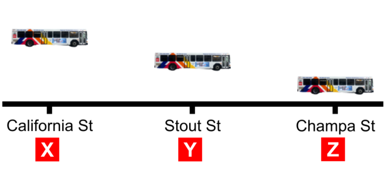
Up until the 1970s, every bus stopped at every block. This was changed to the current system of approx. one third of buses serving one of a triplet of stops, designated ‘X’, ‘Y’ or ‘Z’ on 15th and 17th streets. Despite large red signs denoting the stop letters, the system is overall poorly communicated with hard to find information and no easy to remember ‘rules’ on which routes call at which stops.
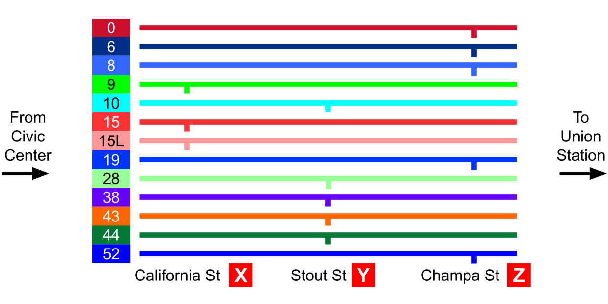
Because the triplets of stops are spread out over 3 city blocks, transfers can be inconvenient as riders often have to scramble across busy streets to get to their next bus. This also raises safety concerns, particularly for riders who have disabilities.
The system also fails to take advantage of multiple routes combining to provide frequency service to a single destination such as Union Station or Civic Center Station. This results in an often frustrating experience as riders see buses heading to where they need to go passing by them.
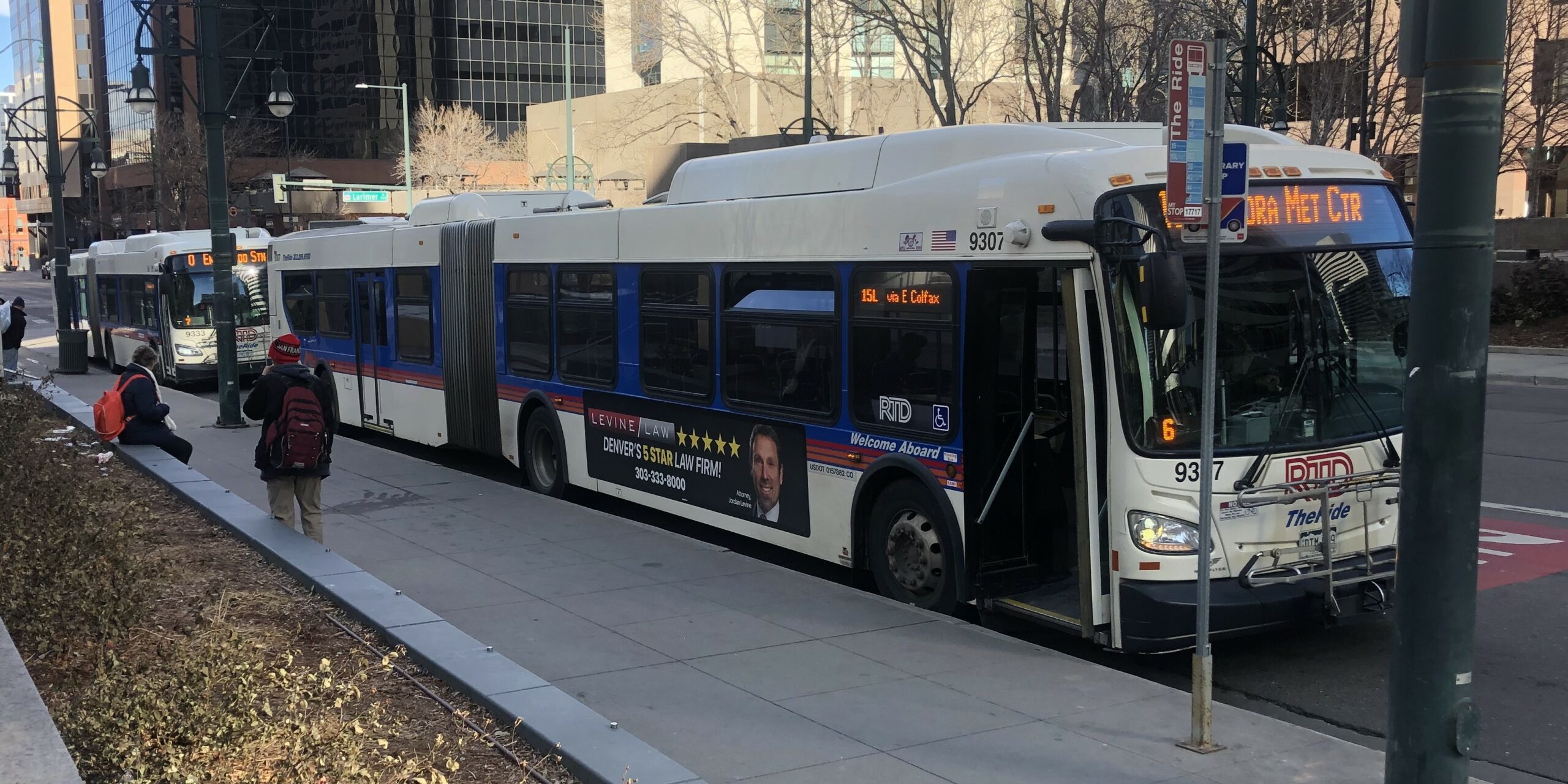
There is one bus stop that offers a respite from all this alphabet craziness, which is the one located at 17th and Lawrence. While facilities are spartan on the sidewalk, the stop is nearly 180ft long and is served by all buses on 17th Street. Riders never usually have to walk more than a few feet to transfer and are reassured by the knowledge that if they wait by the stop sign, all buses going to their destination will stop. Most buses pass by the stop in a procession, however if a an individual bus has an issue, the double bus lanes on 17th Street allow other buses to maneuver around it. Colorado’s busiest bus stop functions smoothly and offers a proof of concept for how other block-long bus stops would work.
Block-long “Super Stops”
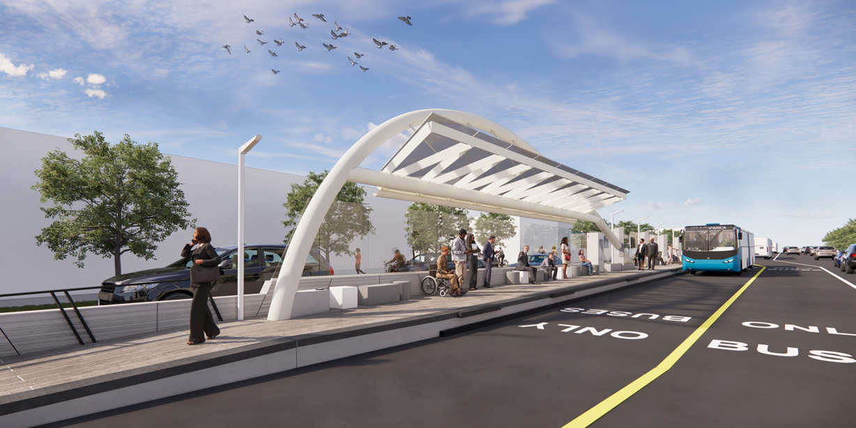
The Downtown Bus Plan proposes to replace the X, Y, Z triplet stops with block-long “super stops” located every 2 or 3 blocks. The new stops would resemble the stations found on light rail and currently under construction for the Colfax BRT project with canopies, seating, ticket vending machines and electronic displays. There is scope for providing raised platforms at the stops to assist with level boarding, however it may not be possible to provide them along the entire length of the stop.
The Free MetroRide – a route that’s no longer needed…
It might seem a little strange for a transit advocacy group to be against an RTD service that’s well marketed and operated with modern, attractive vehicles but if you’ll give us a moment to explain…
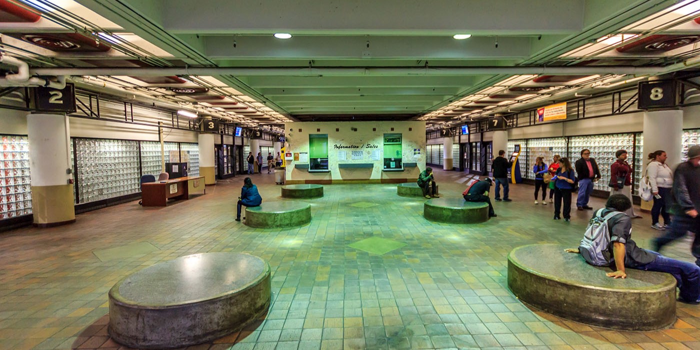
The story starts pre-2014 when Market Street Station was Denver’s Downtown bus terminal. Located about one third along the 16th Street Mall, most commuters elected to walk the couple of blocks to their offices or places of work after being dropped off at the bus station. The remainder used the Free MallRide, which picked up at street level, right outside the main entrance doors.
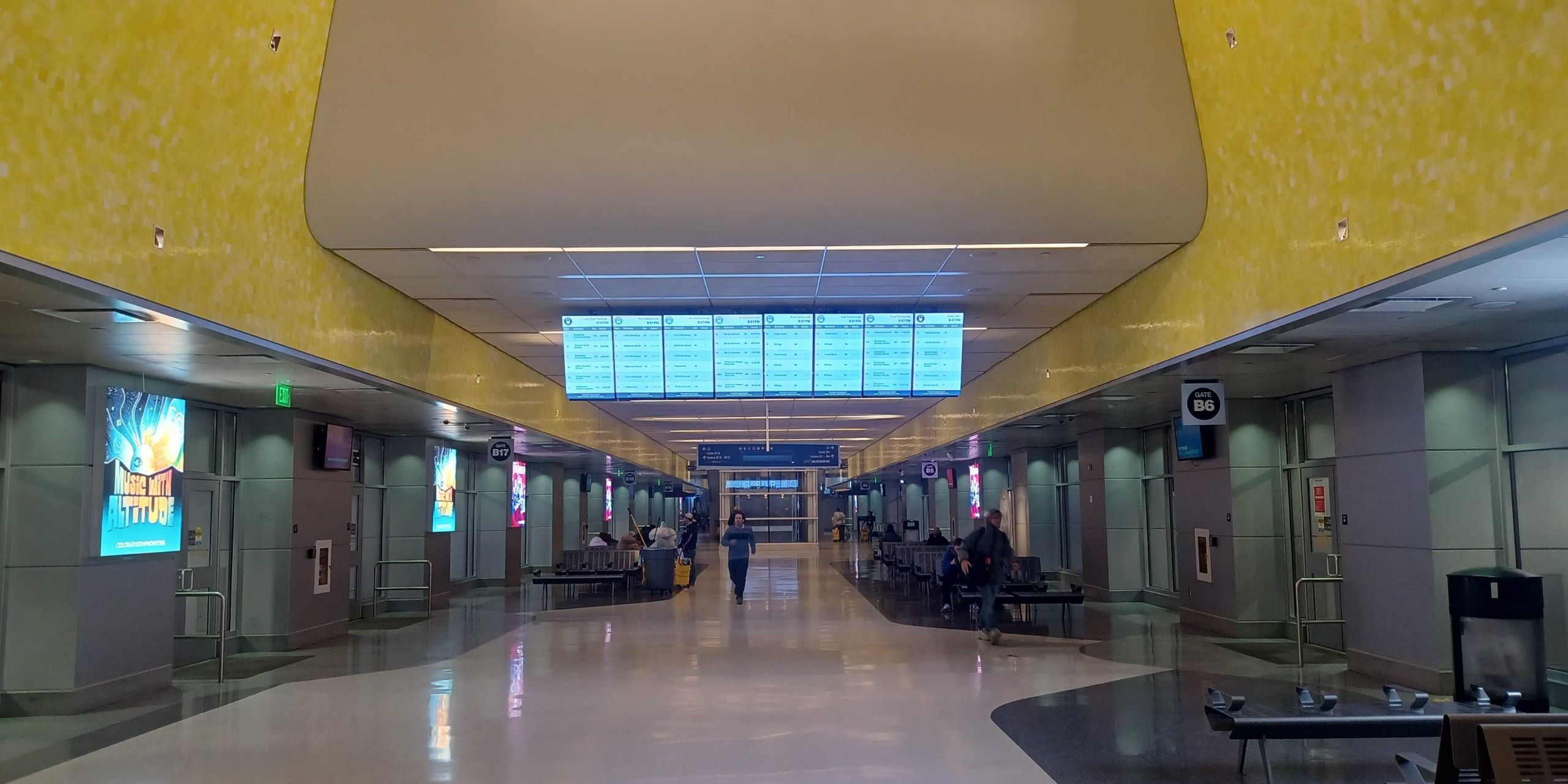
The opening of the Union Station bus concourse in 2014 shifted most bus services ending in Downtown to one end of the mall meaning more workers would need to use the Free MallRide to complete their journeys. Coupled with increase in riders due to the introduction of commuter rail service, RTD calculated that the Free MallRide wouldn’t be able to cope with the expected numbers at peak times.
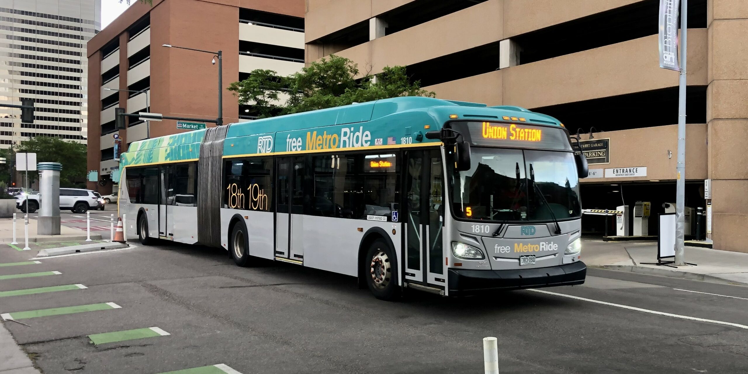
This prompted the introduction of the Free MetroRide, intended by RTD as an efficient alternative for commuters to get to work that operated in the weekday morning and evening peaks only.
However when Downtown commuter traffic collapsed due to the Covid-19 pandemic, the Free MetroRide was an obvious candidate to be suspended. The route made a brief comeback in summer 2024 due to light rail construction where despite running from 6am to 7pm, 7 days a week, where it carried just 170k passengers over a 4 month period, compared to the diverted Free MallRide which carried 408k passengers.
Sadly RTD has announced it plans to reinstate the Free MetroRide from the May 2025 schedule changes running on its original schedule from 6-9am and from 4pm to 7pm on weekdays. Frequency will be every 10 minutes.
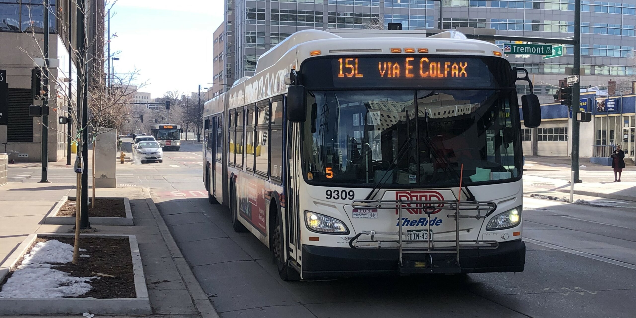
In addition, double bus lanes on both 15th and 17th streets, a new fare payment system introduced in 2022 that makes transfers very easy to handle, and a continued depression in commuter traffic mean the case for a dedicated free bus for office worker remains severely diminished. Because of this, it now makes sense to divert the resources previously allocated to the Free MetroRide to the existing Downtown bus network and free up the 12 dedicated vehicles for reuse elsewhere.
Throughout the Free MetroRide’s existence, RTD has run multiple bus routes paralleling its route between Union Station and Civic Center Station including the 0, 9, 10, 15 and 19. Currently these routes combine to provide 17 buses an hour on this corridor, which is a departure every 3-4 minutes that more than matches the service provided by the Free MetroRide.
New Blake / Market Street Hi-Frequency Route
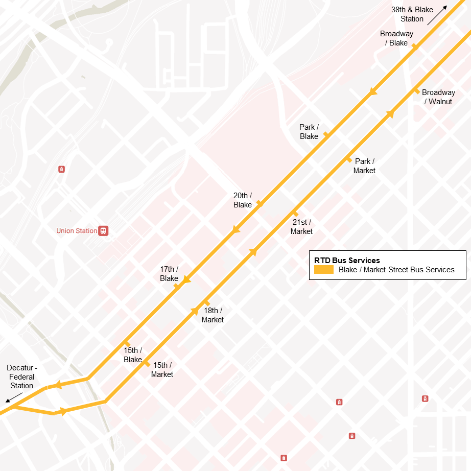
One possible reuse for the Free MetroRide vehicles is a new route operating on Blake and Market streets between the Decatur – Federal Station on the W Line and the 38th & Blake Station on the A Line. The route would address the largest service gap within the Downtown area (connecting Sun Valley, the Auraria Campus, LoDo, Coors Field, Five Points, and RiNo) serving a ‘sports mile’ that hosts 5 professional sports teams.
In Summary
By adopting the Downtown Bus Plan, RTD and DOTI will greatly enhance journeys that pass through and connect in Downtown Denver:
- Ridership on Downtown bus routes will expand as every line gets accelerated, better-connected, or upgraded frequencies.
- Riders will save between 3-5 minutes per trip on cross-Downtown journeys that use the 17th / 18th Street trunk route.
- Riders will enjoy enhanced capacity and improved bus stops along the 15th / 17th Street trunk routes.
- Single-transfer connections will multiply across the District, simplifying journeys that used to require two transfers.
- The Development of a transit culture in Denver will accelerate as far more riders will try new journeys that include a bus transfer.